BLAEU
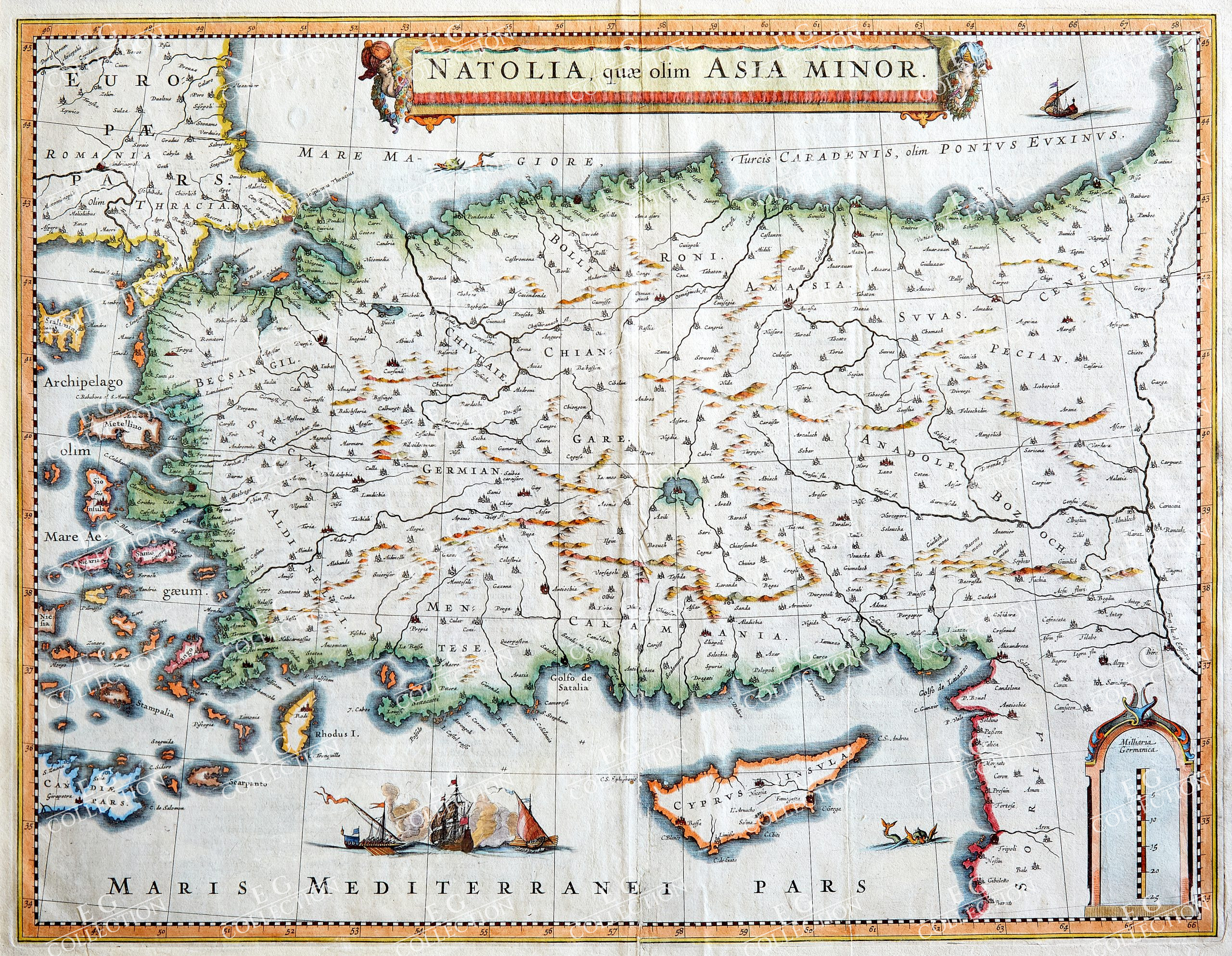
NATOLIA, quae olim ASIA MINOR
BLAEU, William Janszoon
Amsterdam, c.1640
38 x 49.9 cm
Blaeu’s decorative map of Asia Minor, showing Turkey, Cyprus and the Islands in the Aegean.
This attractive map shows all of Turkey, Cyprus and the Aegean Islands to a relatively high degree of accuracy. At the time the entire region was under the rule of the Ottoman Empire (Cyprus was conquered in 1571 from the Venetians). A maritime battle scene, located in the seas to the west of Cyprus, memorializes the naval rivalry between the Ottomans and the Venetians. Major cities, such as Constantinople (Istanbul), Smryna (Izmir) and Antioch are shown, while an elegant title banner completes the composition.
The map is from Willem Jansz Blaeu’s (1571-1638) Atlas Novus, first issued in 1635, with new issues being published by Willem’s son, Joan Blaeu. This atlas was the most commercially successful of its time, and its maps were widely admired as masterpieces of Baroque cartography.
$ 800,00
1 in stock


 No products in the cart.