BLAEU
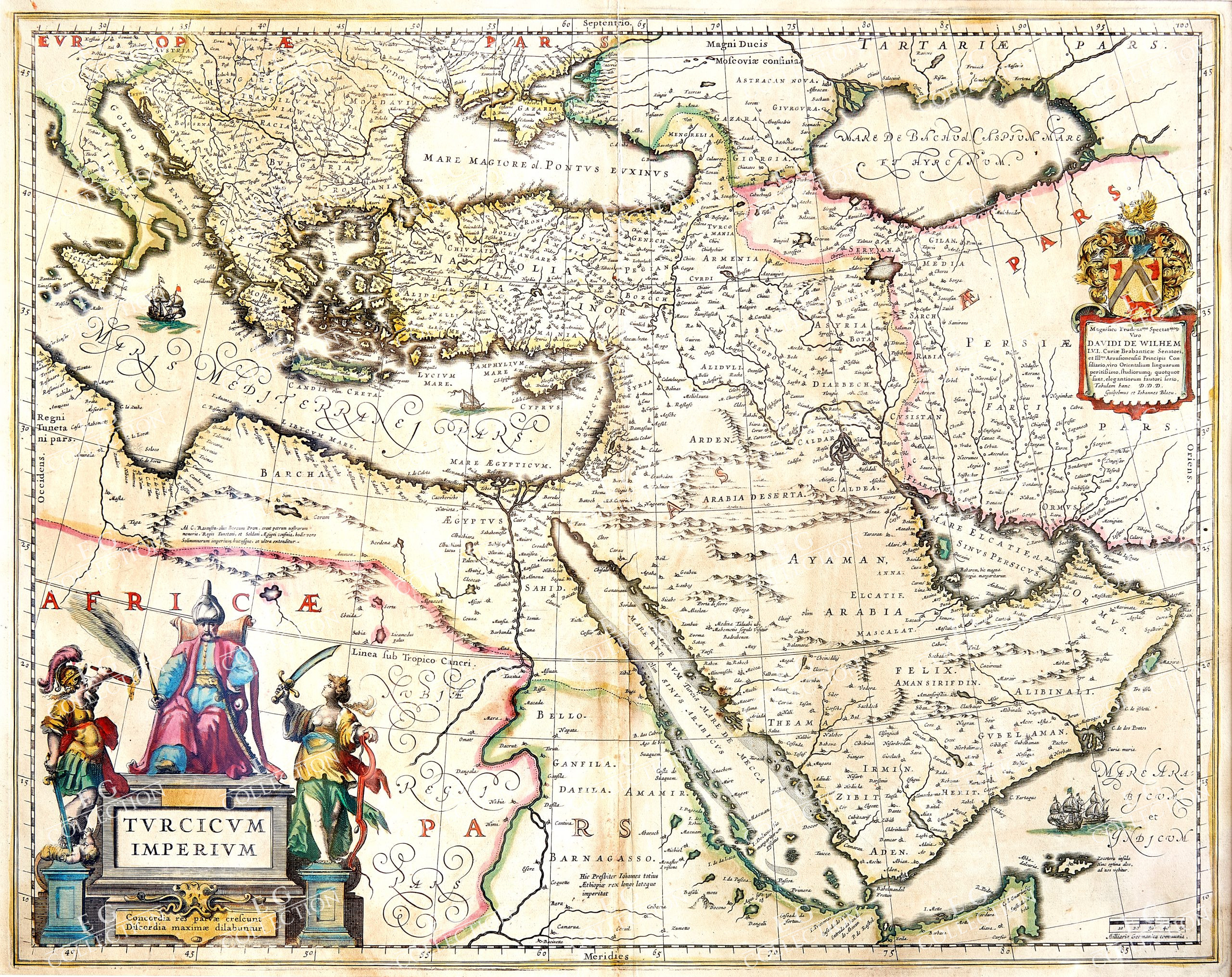
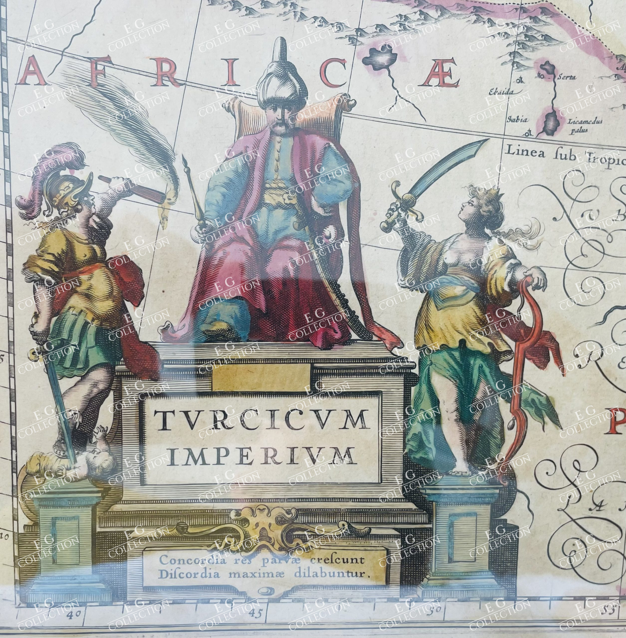
TURCICUM IMPERIUM
Johannes & Cornelis BLAEU
Amsterdam, c. 1640
52 x 41 cm.
Decorative example of Blaeu’s map of the Turkish Empire, based upon Blaeu’s map of a similar title.
Extends from Sicily and Italy in the west, to the Black and Caspian Seas in the north, and the Gulf of Aden, Red Sea and Saudi Arabia peninsula in the south. Centered on Cyprus.
Willem Janszoon Blaeu, patriarch of the Blaeu cartographic dynasty, died in 1638. He had two sons, Cornelis (1610-1648) and Joan (1596-1673). Joan trained as a lawyer, but joined his father’s business rather than practice. After his father’s death, the brothers took over their father’s shop and Joan took on his work as hydrographer to the Dutch East India Company. Cornelis died in 1648, leaving his brother to carry on the workshop alone. Later in life, Joan would modify and greatly expand his father’s Atlas novus, eventually releasing his own masterpiece, the Atlas maior, between 1662 and 1672. The Blaeu workshop burned in 1672 and Joan died a year later.
$ 1.200,00


 No products in the cart.