Description
....
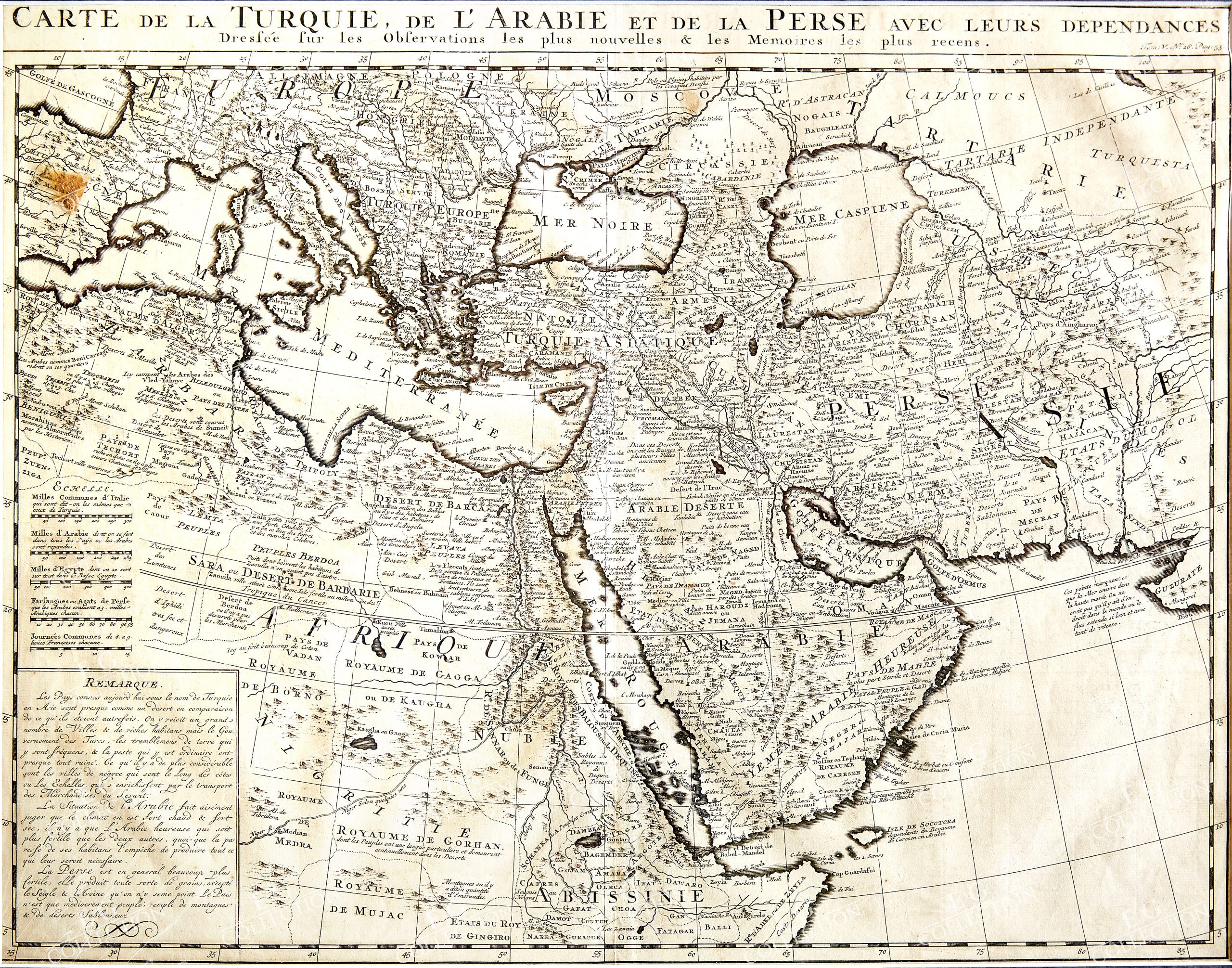
CARTE DE LA TURQUIE, DE L’ARABIE ET DE LA PERSE AVEC LEURS DEPENDANCES
CHATELAIN, Henri
Amsterdam, c. 1719
45 x 35,5 cm.
Superbly engraved map of the region from the Eastern Mediterranean to the Indian Ocean, based upon Guillaume De L’Isle’s map of the same title.
The map illustrates the Turkish Empire, Persian Empire and Arab regions, at the beginning of the 18th Century.
$ 900,00
1 in stock

 No products in the cart.