Description
....
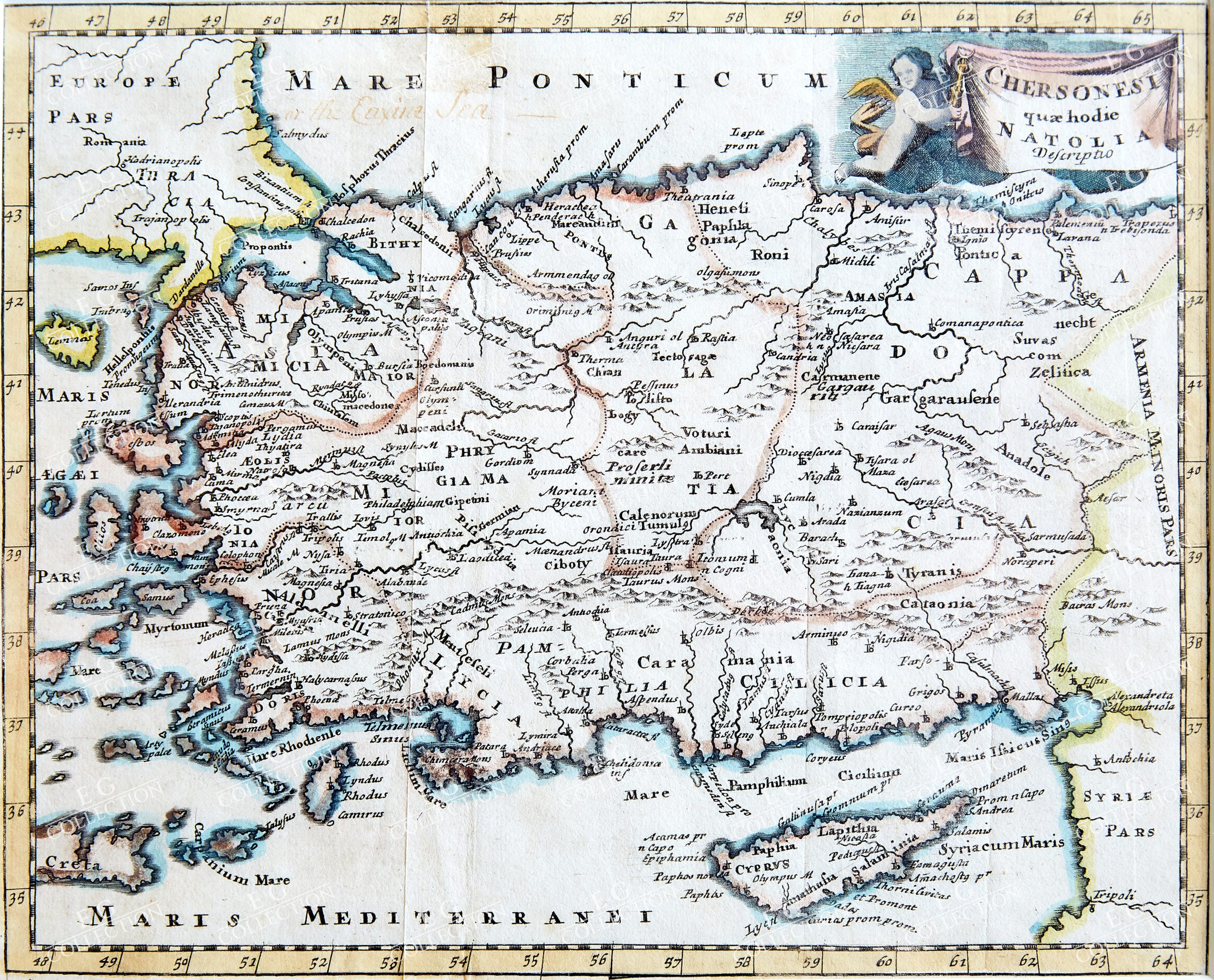
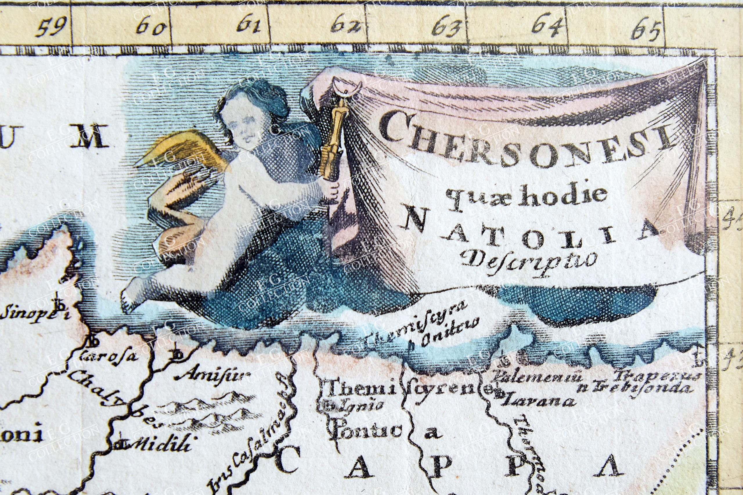
CHERSONESI QUAE HODIE NATOLIA
CLUVER, Philipp
Leiden, 1697
20 x 25 cm.
A map of Turkey, from an early eighteenth century printing of Philipp Cluver’s Introductio in Universam Geographicam. The map is ostensibly a map of the Anatolian peninsula in the classical period, as almost all of the place names, regions, and other geographical details are ancient rather than modern. In the top right corner, the title banner is held up by a putto.
$ 700,00
1 in stock


 No products in the cart.