Description
....
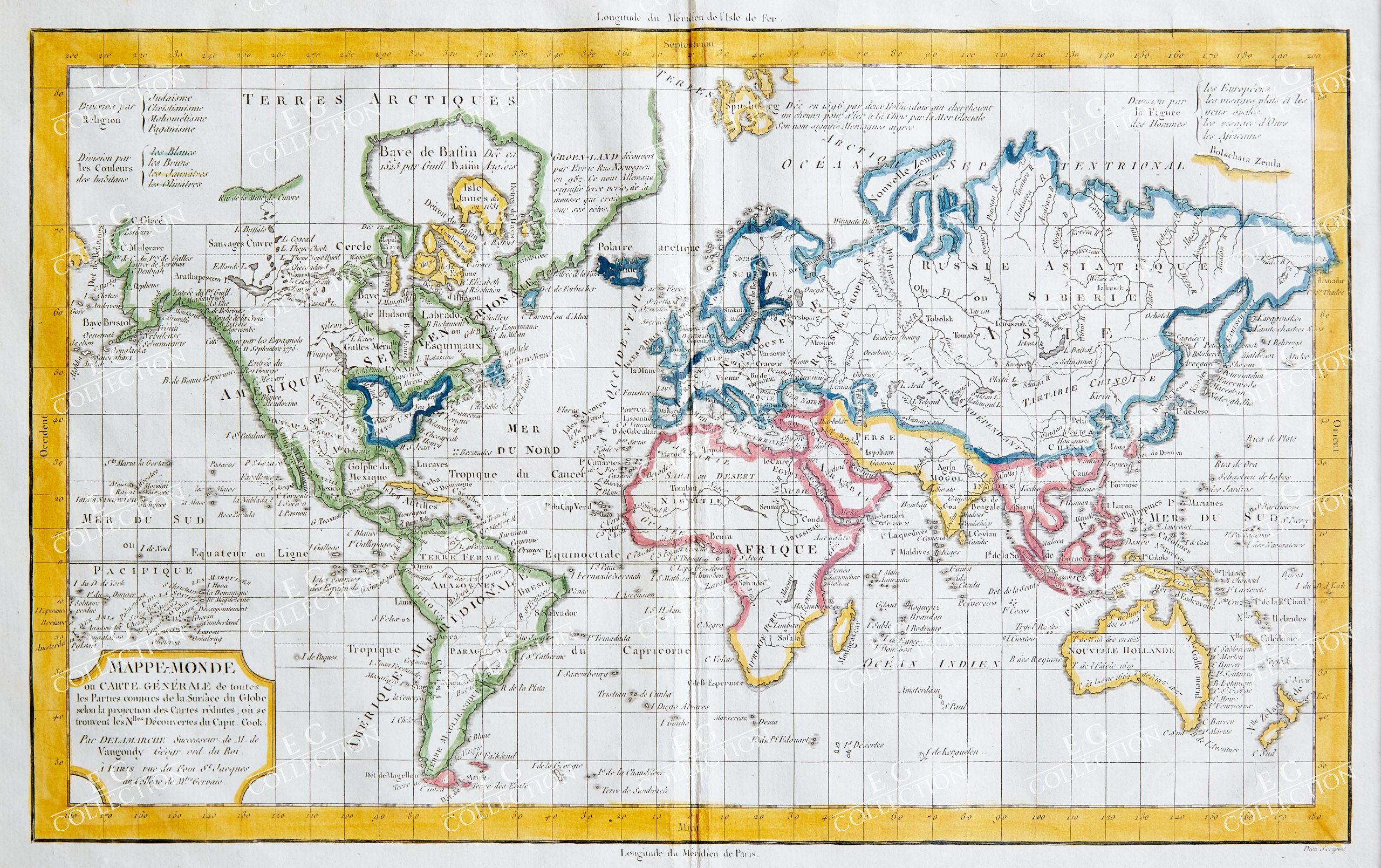
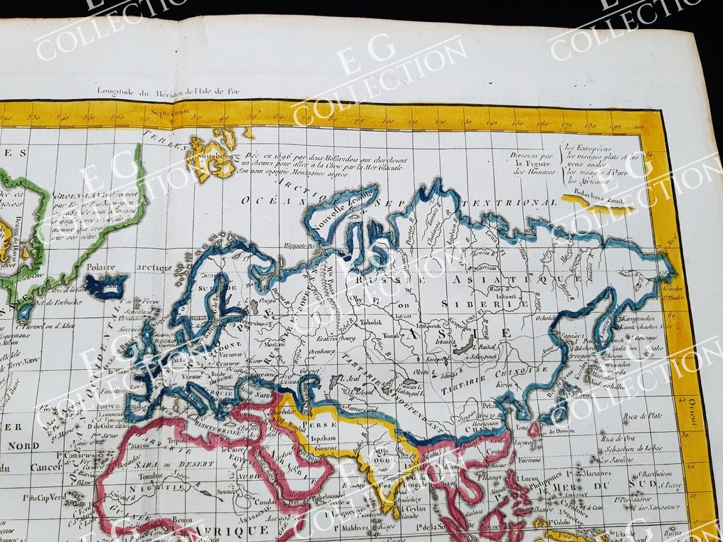
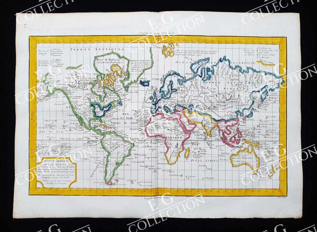
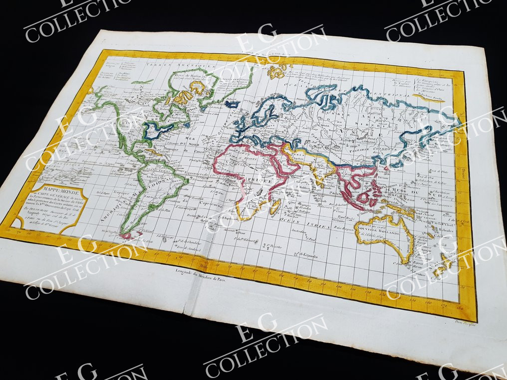
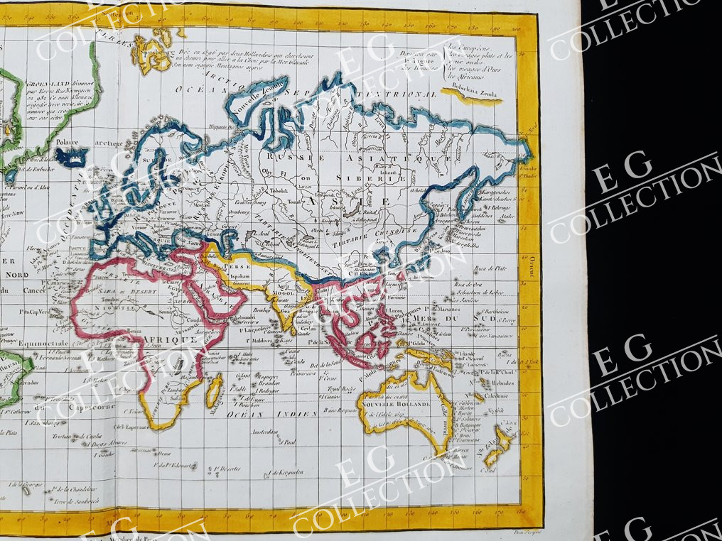
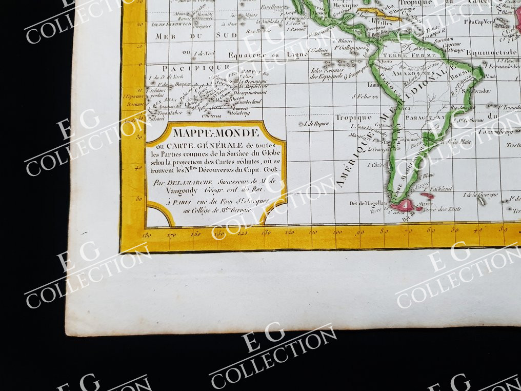
MAPPE-MONDO, ou CARTE GENERALE DE TOTES LES PARTIES DE GLOBE
Map Maker/Publisher: C. DELAMARCHE/R. De VAUGONDY
Paris, c.1781
32 x 45 cm.
This Small Folio Geographical Map is an original copper engraving from around 1780.
This is the edition of VAUGONDY published in about 1780 in his Atlas, which bears the name of: “NOUVEL ATLAS PORTATIF Destiné Principalement pour L’instruction de la Jeunesse. Par Robert de Vaugondy Géographe. Revu, corrigé et augmenté par C. F. Delamarche Géographe. ….. Paris, circa 1780”
Map published in PARIS, with excellent coloring, wide margins, and geographically well detailed in every point.
$ 500,00
1 in stock

 No products in the cart.