DESNOS
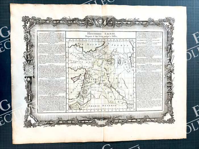
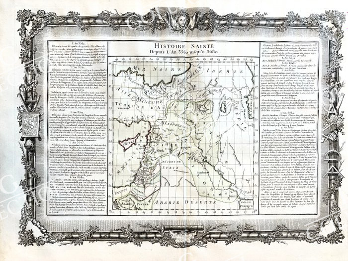
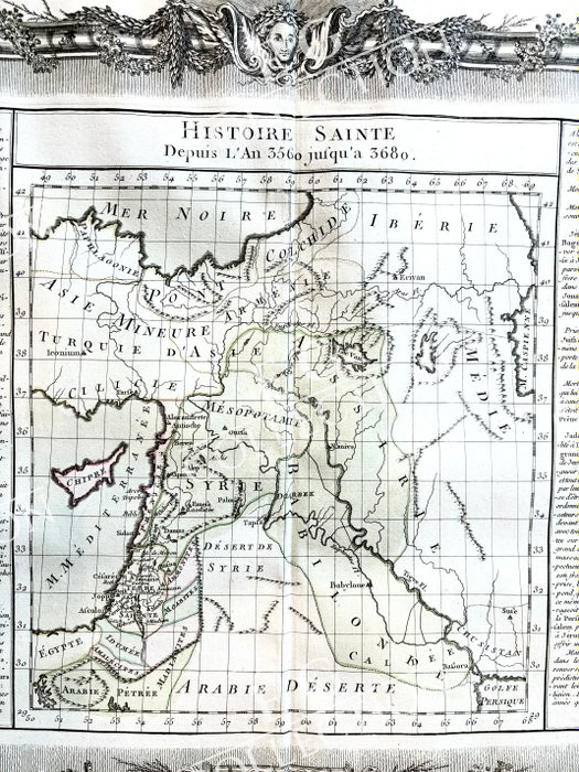
HISTOIRE SAINTE
Depuis L’an 3560 Jusqu’a 3680
Louis Charles DESNOS
1761-1780, 65 x 49 cm.
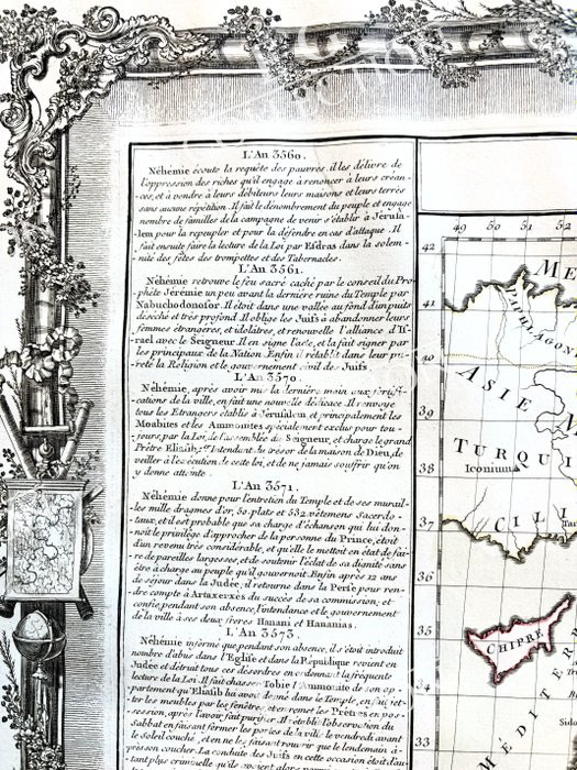
Histoire Sainte depuis l’An 3560 jusqu’à 3680, by Brion, Chez Desnos, 1770
Engraving on copper, enhanced in colors by hand, map taken from “the General, Methodical and Elementary Atlas for the Study of Geography and Modern History, drawn up according to the best French and foreign maps, subject to the astronomical observations of M. M. de l’Ac. King of Sc. and of the Stes Tchirikow and Delisle, by a society of the king’s geographical engineers, adopted especially for the instruction of the young nobility of the royal military school by virtue of a deliberation of the council of this school, with historical and geographical descriptions printed on the margins of each map to facilitate its study, by Maclot, professor of Mathematics, Cosmography and History, updated and executed by Desnos in Paris”
Aleksey Ilyich Chirikov (1703–1748) was a Russian navigator and explorer.
Guillaume Delisle (1675-1726) was a French geographer and cartographer, a pupil of Cassini.
Louis Charles Desnos (1725–1805) was an eighteenth-century French geographer, Parisian bookseller and “geographer engineer for the globes and spheres of His Danish Majesty”. He kept a shop in the Rue Saint-Jacques, at the Globe.
He was an important manufacturer of mapping instruments and globes. Desnos held the coveted position of Royal Globemaker with the King of Denmark, Christian VII. For this he received an annual allowance of 500 livres. In return he sent maps, books and atlases to the king every year.
$ 600,00


