LOTTER
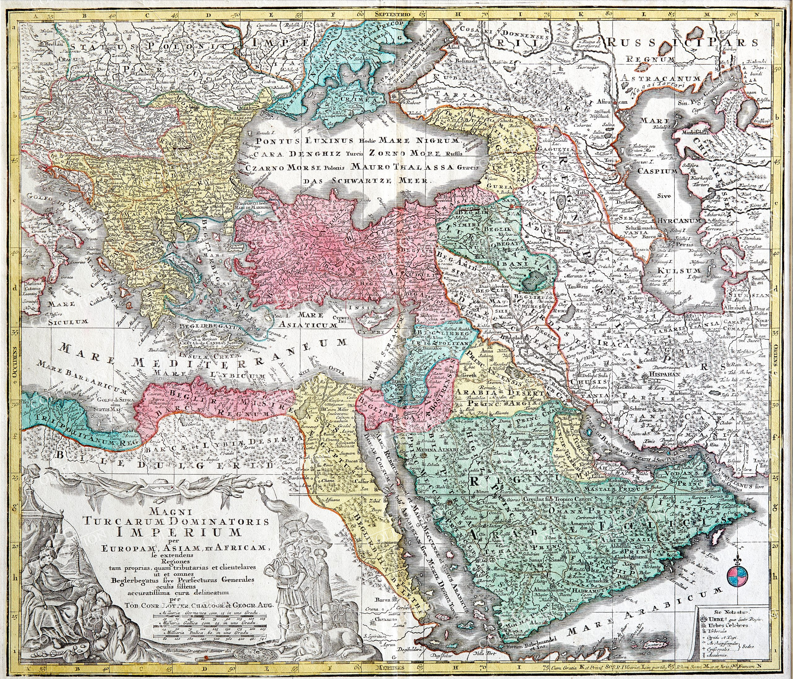
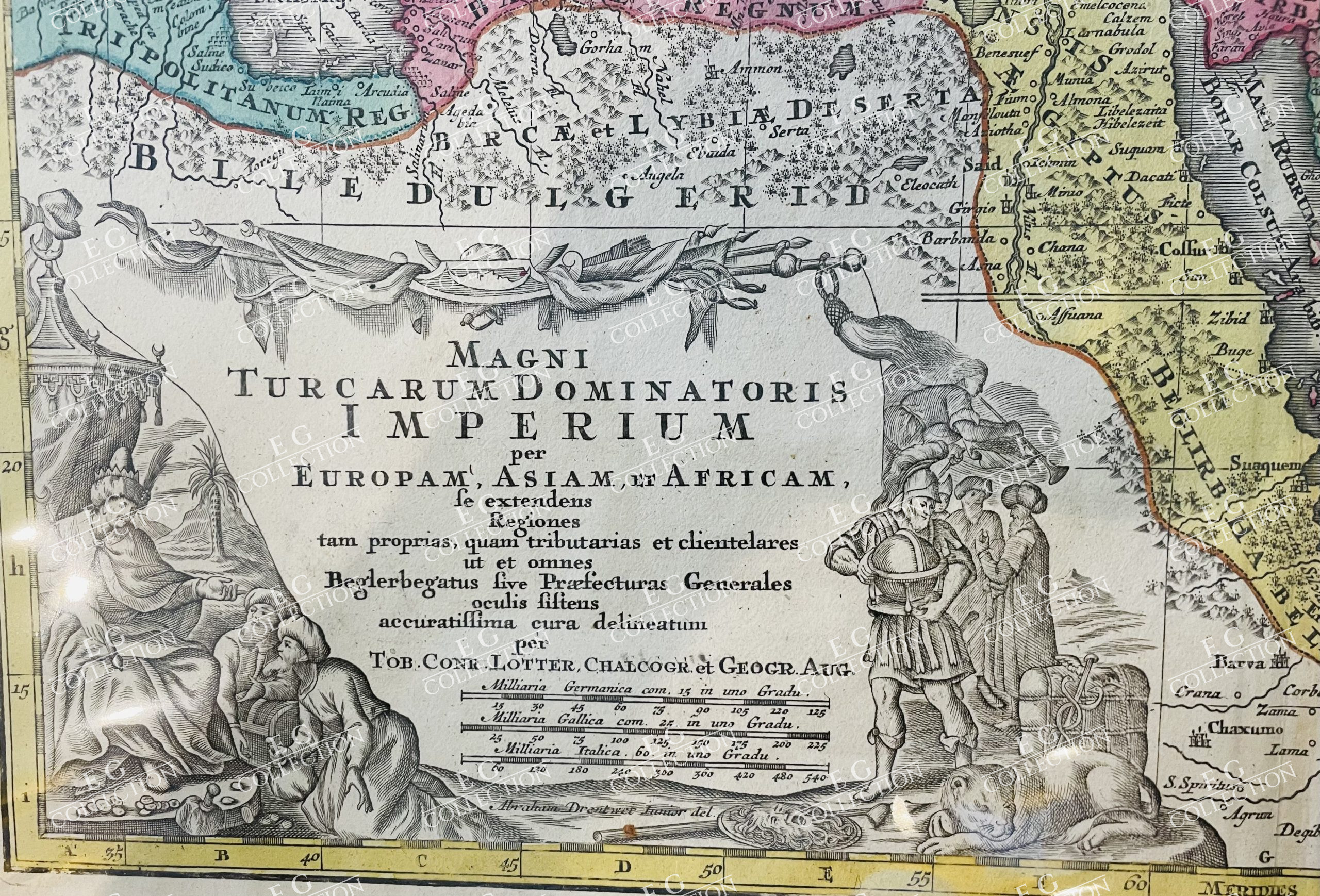
MAGNI TURCARUM DOMINATORIS IMPERIUM PER EUROPAM, ASIAM ET AFRICAM
LOTTER, Tobias Conrad
Augsburg, 1740
58.5 x 49.5 cm.
Striking regional map, centered on Turkey and Asia Minor, and showing the Eastern Mediterranean, Balkans, Greece, Persia, Saudi Arabia, the Black Sea and the Caspian Sea.
Gorgeous large cartouche.
Tobias Conrad Lotter Biography
Tobias Conrad Lotter (1717-1777) is one of the best-known German mapmakers of the
eighteenth century. He engraved many of the maps published by Matthaus Seutter, to whose daughter Lotter was married. He took over Seutter’s business in 1756. Lotter’s son, M. A. Lotter, succeeded his father in the business.
Map depicts the former Osman empire with Greece, Egypt, Arabia, Persia and Turkey, witha decorativ cartouche showing the emperors of the ottoman empire.
The area of today’s Turkey has been populated since the Paleolithic. The name of the Turks comes from Central Asia. The immigrants from whom Turkey got its name were the Oghusen and came from the area around the Aral Sea. The Turkish settlement of Anatolia began with the arrival of the Seljuks in the 11th century AD. Around 1299, Osman I, Gazi (1259–1326) founded the Ottoman dynasty named after him, from which the name of the Ottoman Empire (also called the Turkish Empire) ) derives. After the conquest of Constantinople in 1453, the Ottomans ruled over large parts of the Middle East, North Africa, the Crimea, the Caucasus and the Balkans. After the expansion of the Ottoman Empire into Europe was brought to a standstill near Vienna and the Ottoman army was defeated there on Kahlenberg in 1683, the empire was pushed back further and further from its European territories to the tip west of the Marmara Sea, between Istanbul and Edirne. The national movements that emerged from the 19th century onwards led to a gradual fragmentation of the empire, the occupation of Turkish North Africa by European powers and finally the defeat in the First World War resulted in its ultimate decline.
$ 1.300,00


 No products in the cart.