Description
....
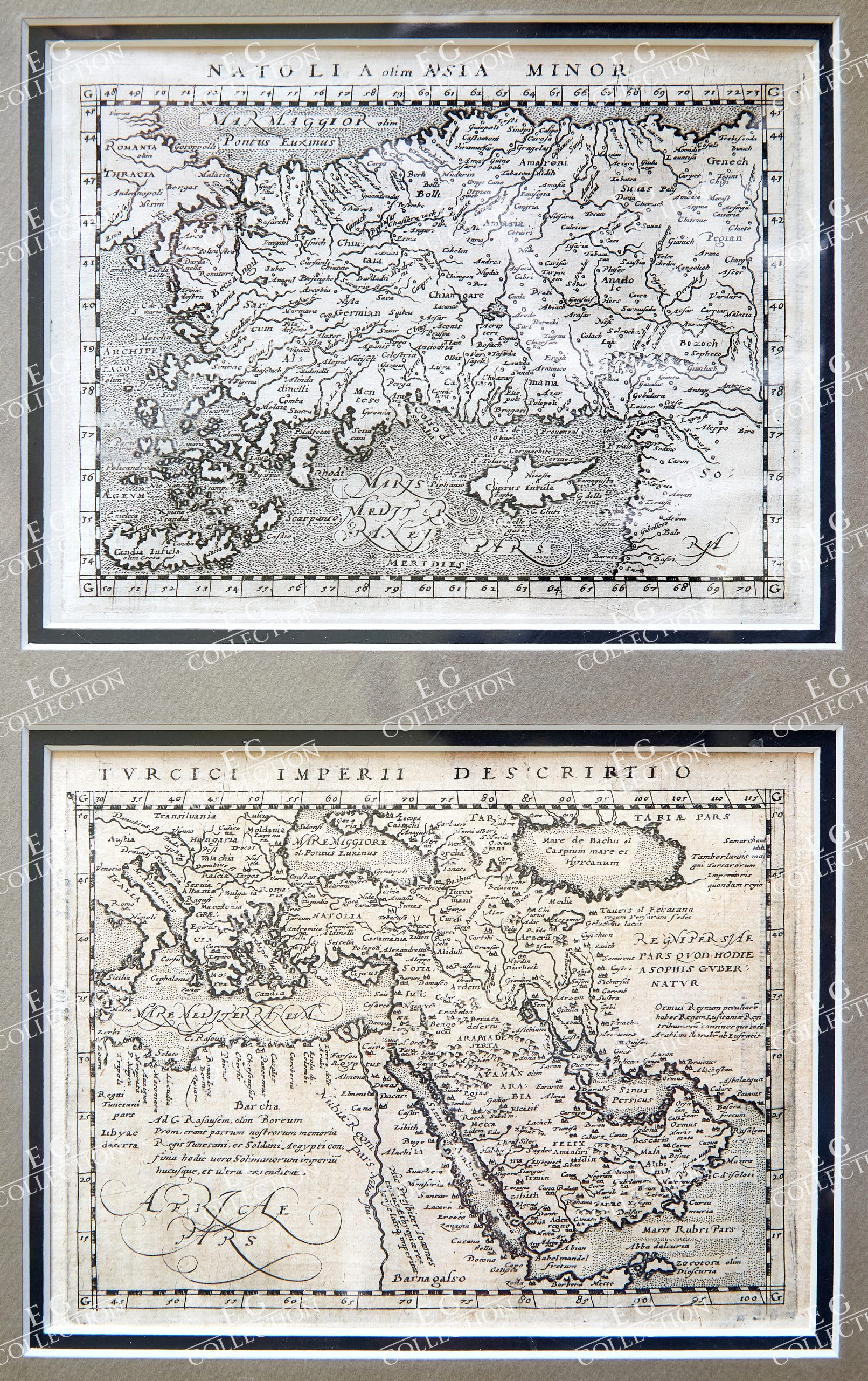
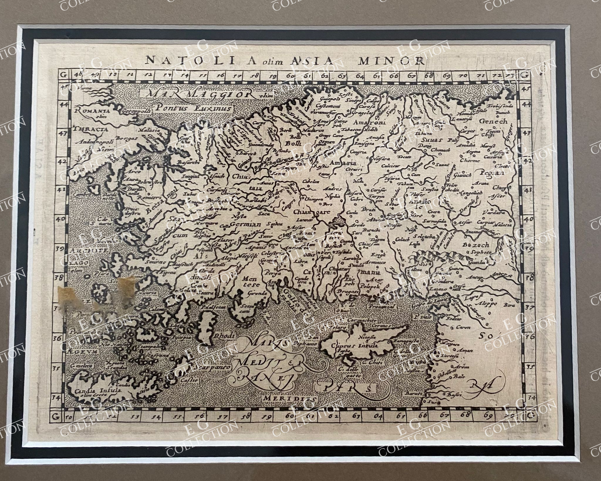
Desrittione Dell’Asia Minore addimandata volgarmente La Natolia e dell’Isole circongiacenti”
NATOLIA OLIM ASIA MINOR
Copper etching published in ‘Geografia cioe Descrittione Universale della Terra” Gio.
Battista & Giorgio Galignani Fratelli.
Venice, 1598
First edition in Italian prepared by Giovanni Antonio Magini (1555-1617)
Map shows Turkey, Cyprus and Greek Islands along Turkish coast south to the Island of Crete (Candia) and the Syrian cost.
12.6 x 17.2 cm
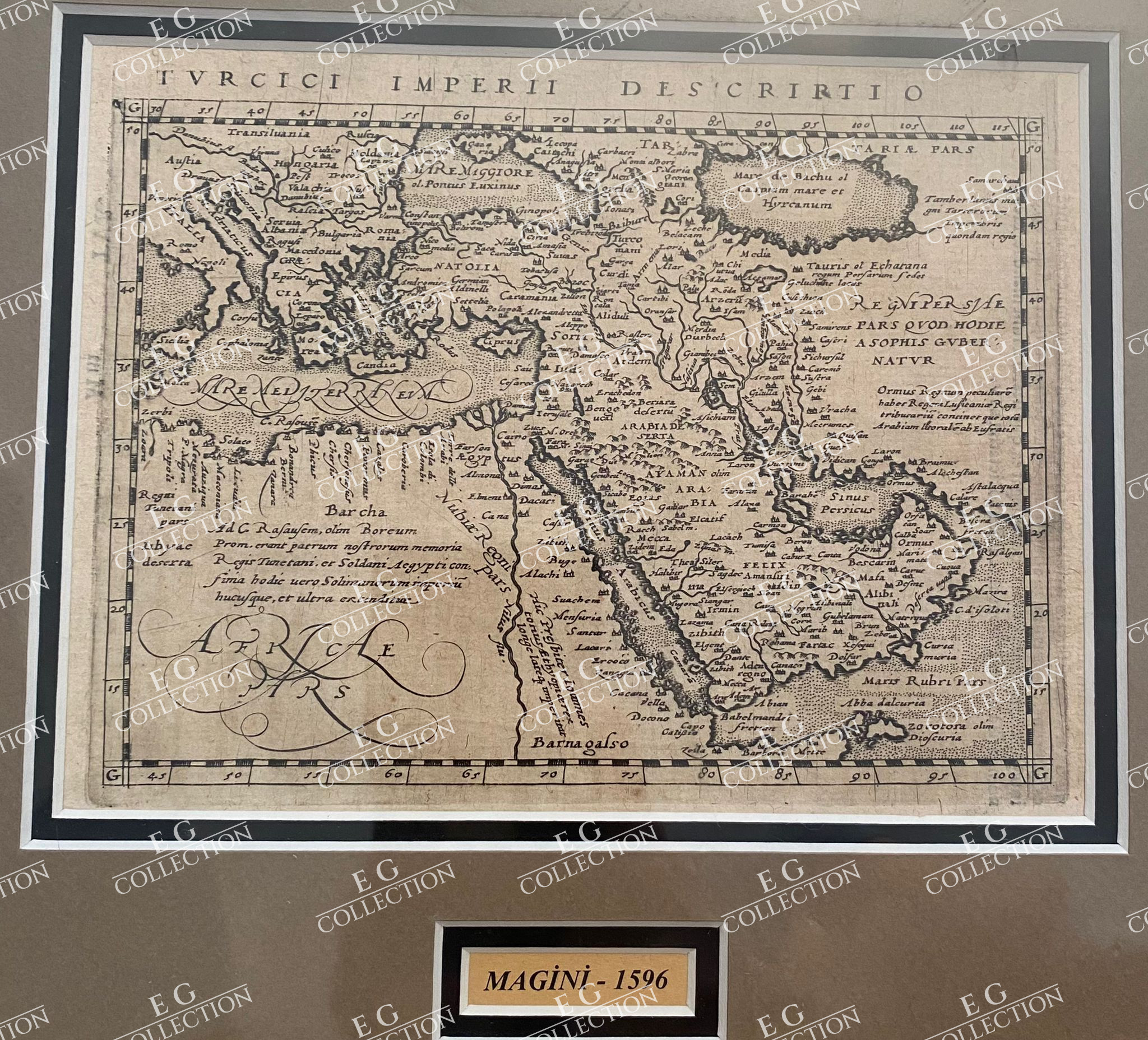
TURCICI IMPERII DESCRIPTIO
MAGINI, Giovanni Antonio,
1617
17 x 13.5 cm.
Antique map titled ‘Turcici Imperii Descriptio’. Old map of the Turkish Empire, centering on Arabia. This map originates from ‘Geographiae, tum veteris, tum novae, volumina duo’ published by J. Janssonius, Arnhem.
Giovanni Antonio Magini (Padua; 1555-1617) was an Italian astronomer, cartographer, matematician and astrologer.
$ 2.000,00
1 in stock


 No products in the cart.