Description
....
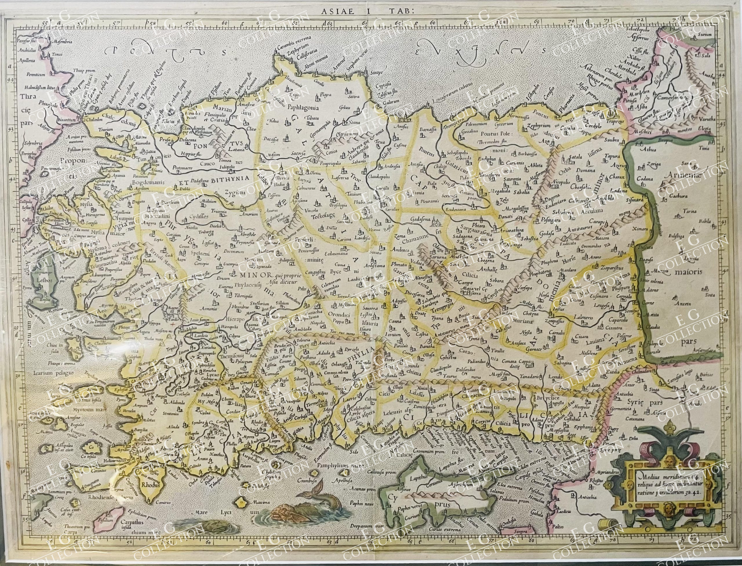
Mercator’s Map of Turkey and Cyprus
[Gerhard Mercator]. Map: “ASIAE I TAB:” [Turkey and Cyprus].
[Duisburg, circa 1578 or Amsterdam circa 1584].
45×35 cm.
This delightful Ptolemaic map of Turkey and Cypress originally came out in Mercator’s second (1584) edition of Ptolemy’s great Geography. Only the first (1578) and second (1584) editions of the atlas were published during Gerard Mercator’s lifetime.
Gerard Mercator is most popularly known for being the first to use the word “atlas” when referring to a group of maps as well his creation of the Mercator projection where line of latitude and longitude are constrained to a grid like format. However he did spend much of his life working on renditions to Ptolemaic maps such as this one.
The map shows the ancient political division within the Asia Minor region and notes many towns and important cities throughout. In this particular map, the great city of Istanbul formerly known as Constantinople is labeled “Bizantium” from its roots as an ancient Greek city. The name was later changed to Constantinople around 330 A.D. when the Empire ruled the region under Constantine I.
The map feature a decorative cartouche, two viscous sea monsters and delightful old coloring. Latin text on verso.
Mercator’s map of Asia Minor and Cyprus, from Mercator’s edition of Ptolemy’s Geographia, first published in 1578. The map also appeared in Mercator’s second (1584) edition of Geographia. Only the first (1578) and second (1584) editions of the atlas were published during Gerard Mercator’s lifetime.
Very good condition.
$ 900,00

 No products in the cart.