Description
....
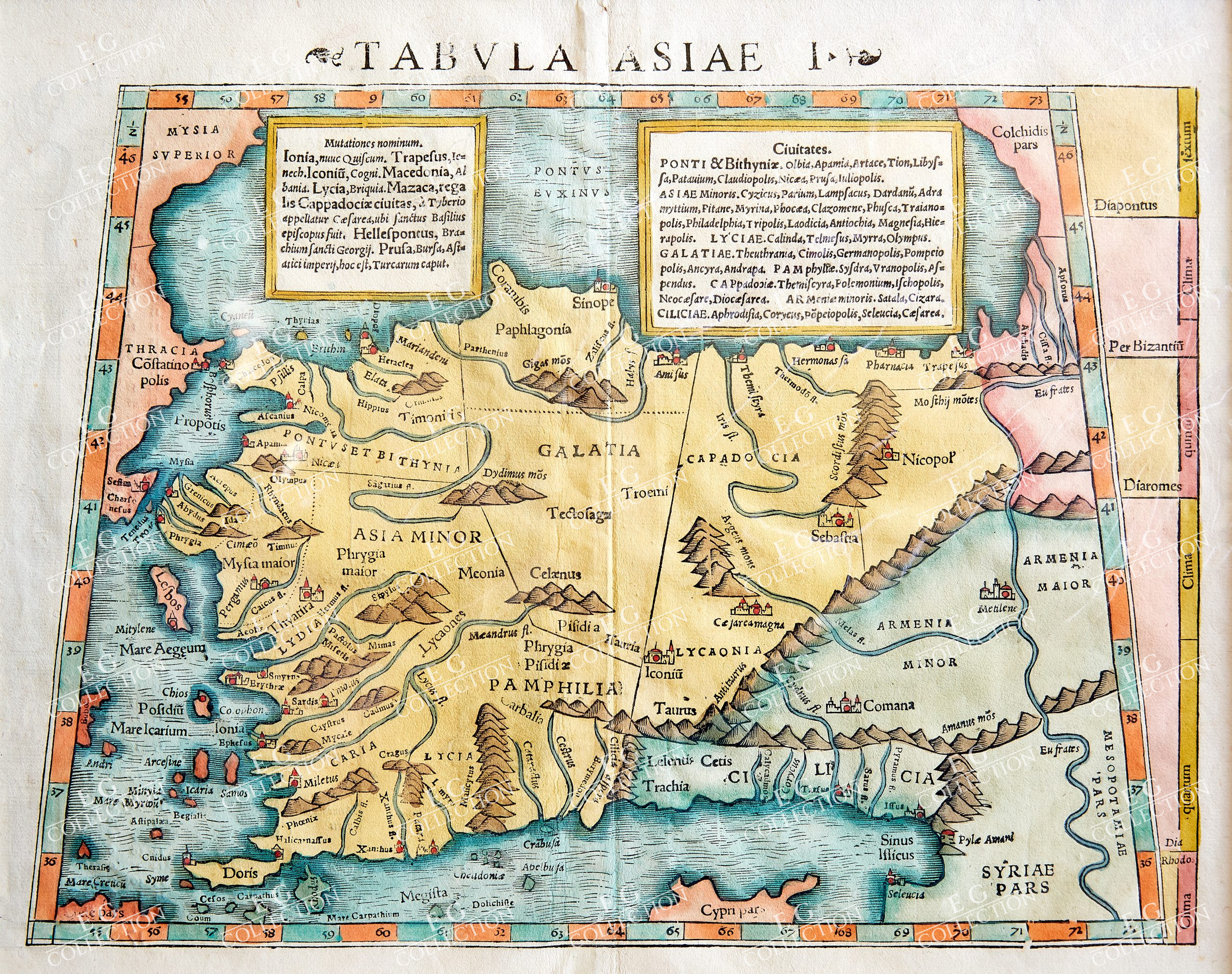
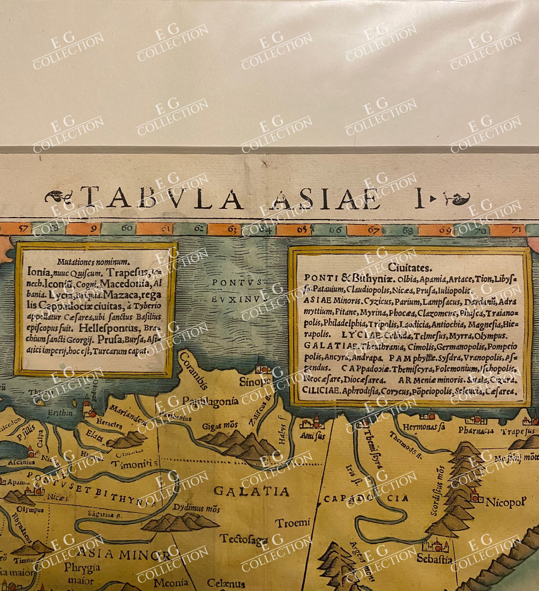
TABULA ASIAE I
Sebastien MUNSTER
c.1542
34 X 27 CM.
This Ptolemaic map of Turkey is presented in a trapezoidal projection. The Black Sea (Pontus Euxinus) at the top is filled with block of descriptive Latin text.. The Bosporus Strait and Constantinople (or Istanbul) are at the left. Part of Crete appears at the lower left and the Euphrates River flows south along the east side of the map. Mountains and cities are shown in profile. Woodcut with Latin text on verso marked page 17.
$ 1.500,00

 No products in the cart.