SEUTTER
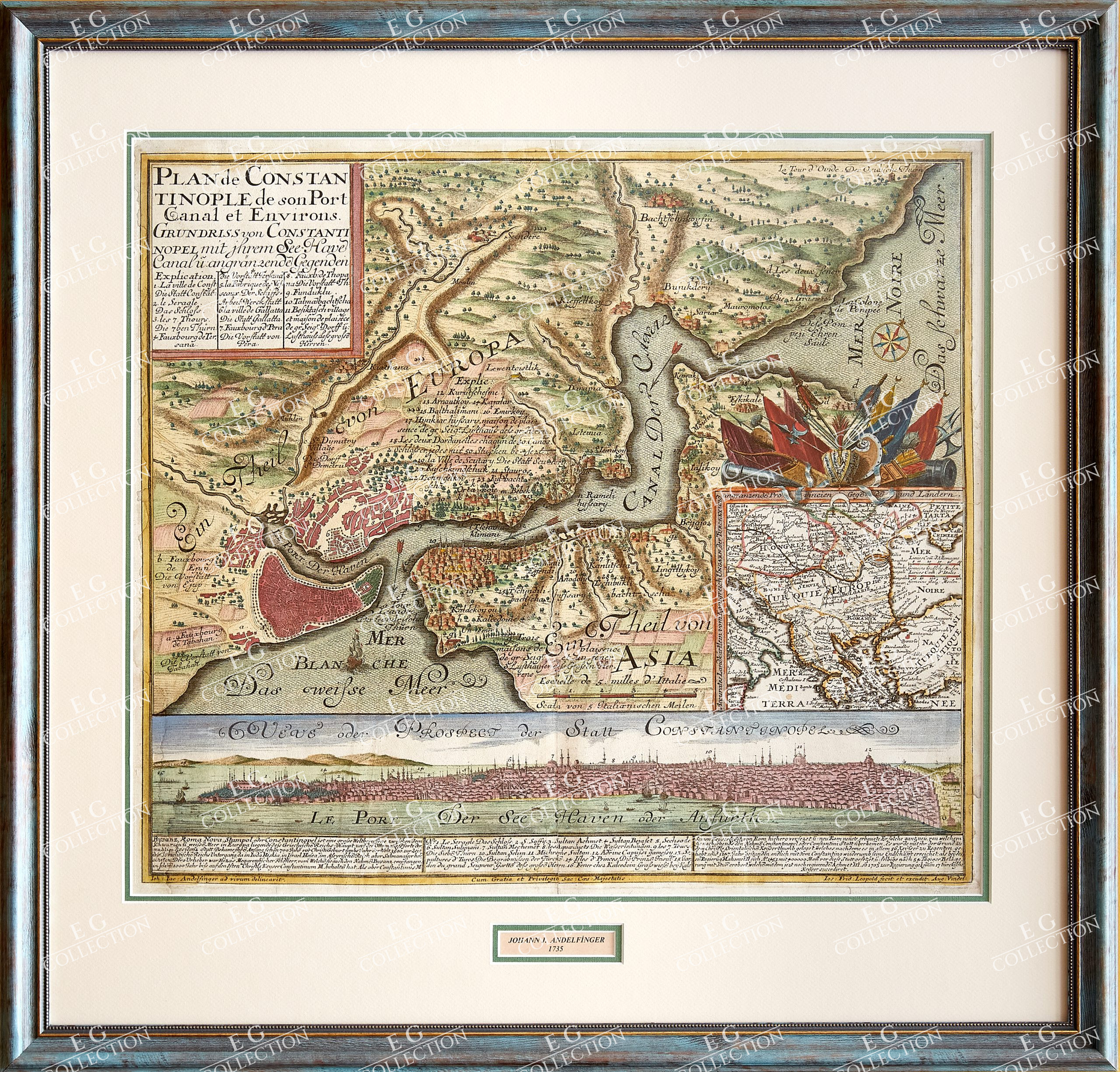
PLAN DE CONSTANTINOPLE DE SON PORT CANAL ET ENVIRONS. GRUNDRISS VON CONSTANTINOPEL MIT IHREM SEE HAVE CANAL UZ.
ANGRANZENDE GEGENDE. KUPFERSTICH NACH. J.J. ANDELFINGER BEI J.F. LEOPOLD
Matthaus SEUTTER
Augsburg, 1735
50 x 58 cm., contemporary coloured,Framed.
Matthäus Seutter (1678-1757) was a prominent German mapmaker in the mid-eighteenth century. Initially apprenticed to a brewer, he trained as an engraver under Johann Baptist Homann in Nuremburg before setting up shop in his native Augsburg. In 1727 he was granted the title Imperial Geographer. His most famous work is Atlas Novus Sive Tabulae Geographicae, published in two volumes ca. 1730, although the majority of his maps are based on earlier work by other cartographers like the Homanns, Delisles, and de Fer. (BLR-Barry Lawrence Ruderman)
$ 3.500,00


 No products in the cart.