TURKEY
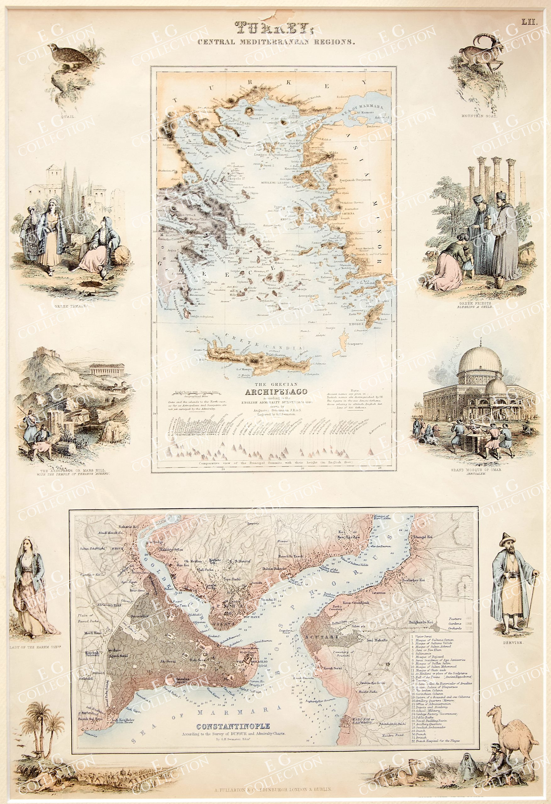
TURKEY;
CENTRAL MEDITERRANEAN REGIONS
Archibald Fullarton & Co.
1855, Edinburgh
33 x 45 cm.
Highly detailed map of Turkey, Greece, the Greek Islands and the Aegean, with a second large map of Istanbul.
Two maps on one sheet, the first showing The Grecian Archipelago, the second showing Constantinople. Decorative vignettes showing local scenes, people and fauna.
Fullarton’s Royal Illustrated Atlas, the last highly decorative atlas published in England. Even the maps without views or figures are beautifully engraved and colored with a mixture of printed color and hand color. Swanston, Petermann, Bartholomew, Macnab and Johnson engraved the maps.
NOTE: There is a small tear on the title.
$ 300,00
1 in stock


 No products in the cart.