Description
....
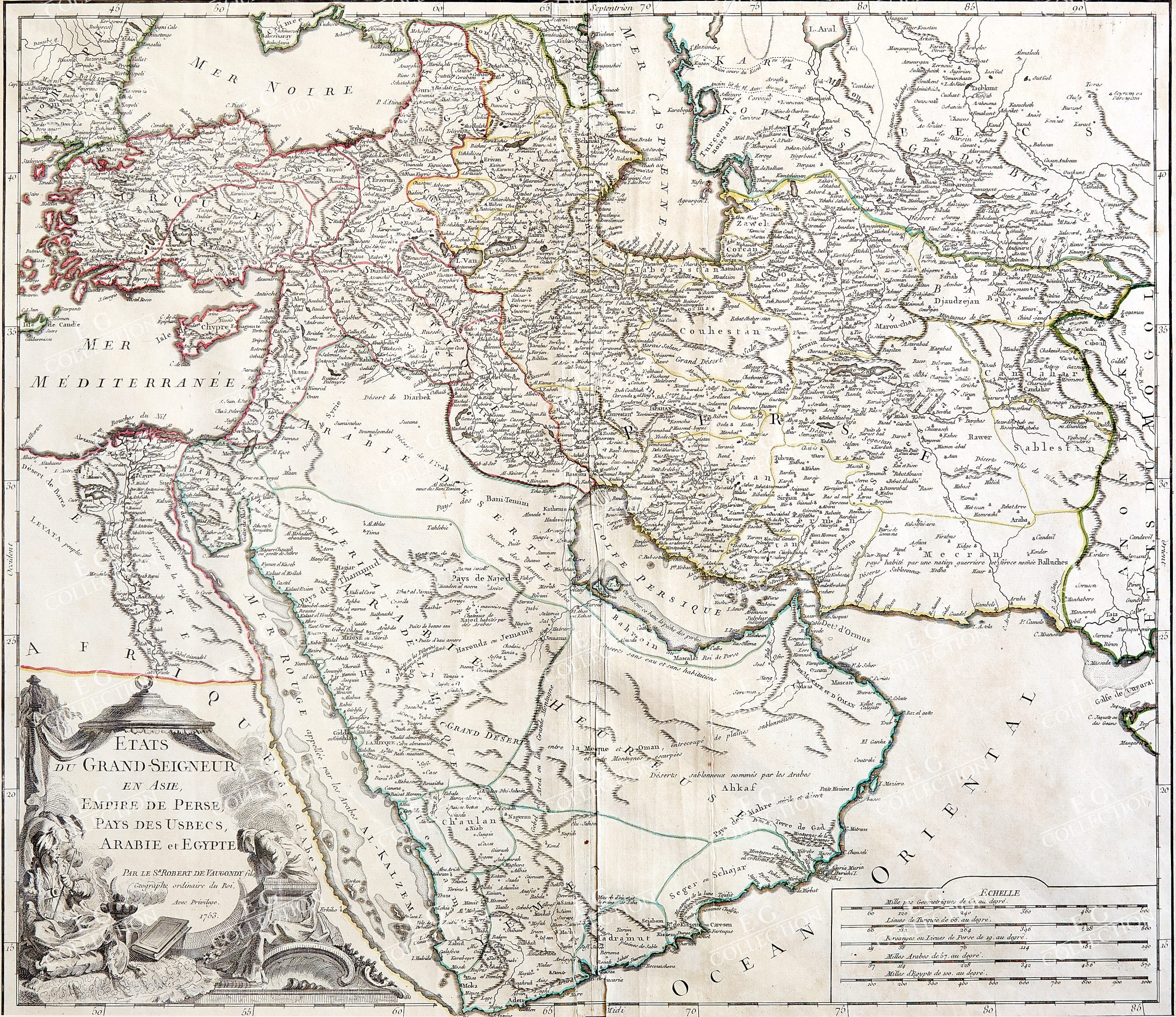
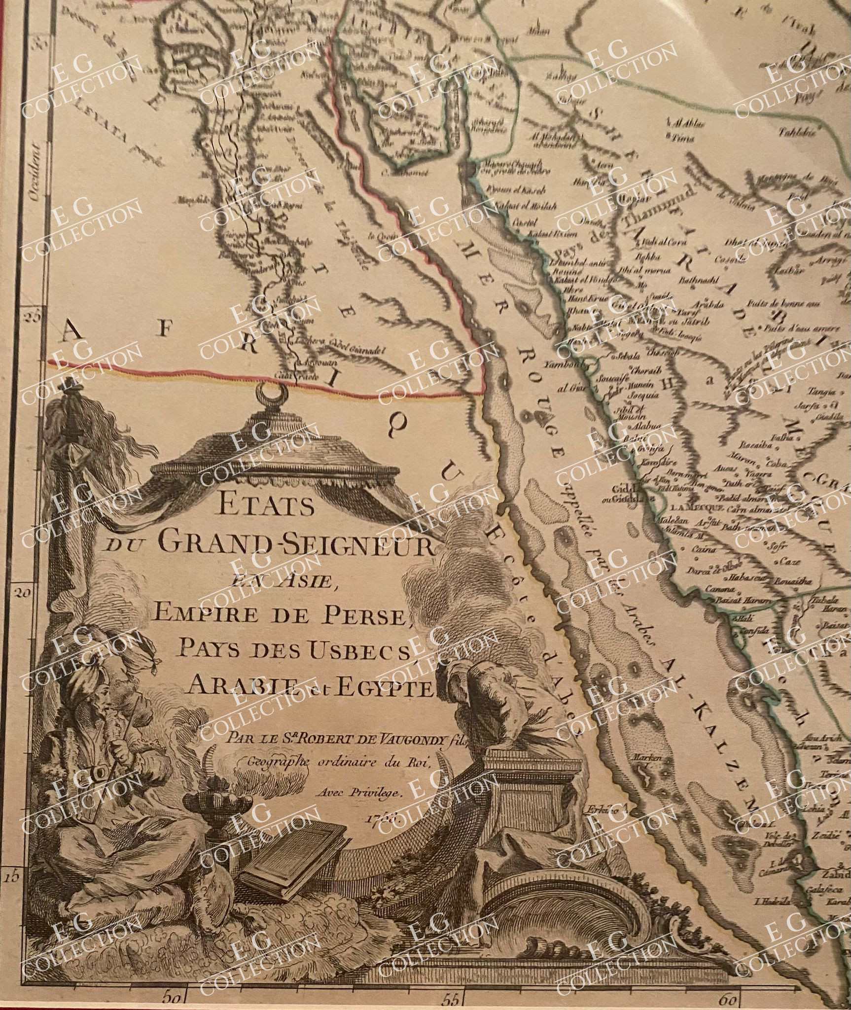
ETATS DU GRAND SEIGNEUR, EN ASIE, EMPIRE DE PERSE, PAYS DES USBECS, ARABIE et EGYPTE
Didier Robert De VAUGONDY
Paris, 1753
57 x 48 cm.
Detailed map of the Ottoman Empire, published by De Vaugondy in Paris.
The map extends to the Black Sea, Georgia, the Caspian, Uzbekistan, The Indian Ocean, Saudi Arabia, Egypt and the Red Sea.
The Ottoman Empire was a vast and powerful state that at its height stretched from Eastern Europe to North Africa and included much of the Middle East. In the middle of the 18th century, the empire was facing a number of challenges, both internal and external.
One of the major internal challenges facing the Ottoman Empire at this time was a decline in central authority. The Ottoman sultans had traditionally exercised a great deal of power, but by the mid-18th century, they had become increasingly weakened and isolated. The empire was also facing a crisis of succession, with a number of rival factions vying for control. This political instability had a number of negative consequences, including a decline in the military and economic power of the empire.
Externally, the Ottoman Empire was also facing a number of challenges. The empire was at war with a number of European powers, including Russia and Austria, and was also under threat from the expanding Russian Empire. In addition, the Ottoman Empire was facing a number of rebellions and uprisings within its own borders, as various ethnic and religious groups sought greater autonomy or independence.
Didier Robert de Vaugondy (ca. 1723-1786) was the son of prominent geographer Gilles Robert de Vaugondy and Didier carried on his father’s impressive work. Together, they published their best-known work, the Atlas Universel (1757). The atlas took fifteen years to create and was released in a folio and ¾ folio edition; both are rare and highly sought-after today. Together and individually, father and son were known for their exactitude and depth of research.
Like his father, Didier served as geographer to King Louis XV. He was especially recognized for his skills in globe making; for example, a pair of his globes made for the Marquise de Pompadour are today in the collection of the Municipal Museum of Chartres. Didier was also the geographer to the Duke of Lorraine. In 1773, he was appointed royal censor in charge of monitoring the information published in geography texts, navigational tracts, and travel accounts.
$ 1.000,00
1 in stock

 No products in the cart.