Description
....
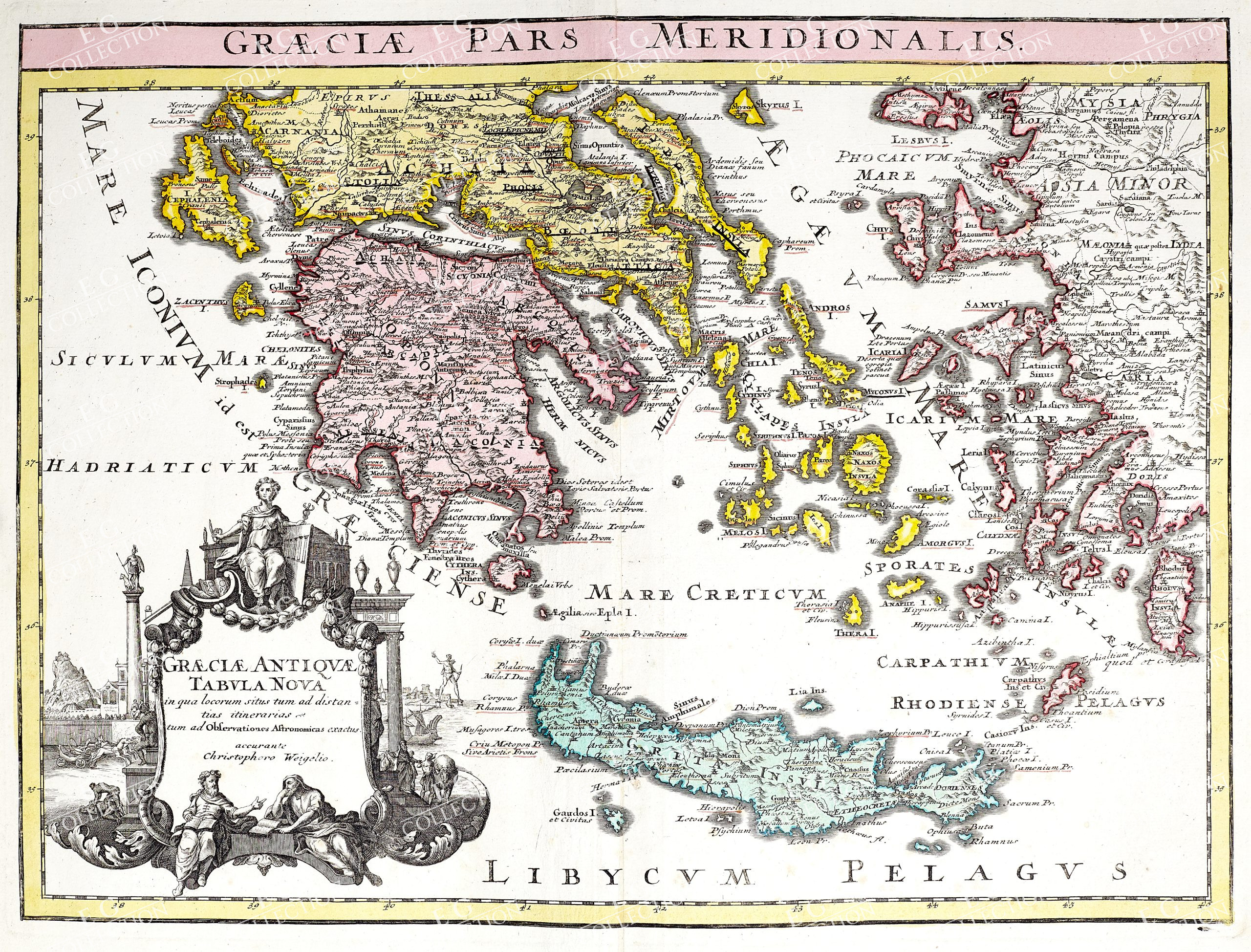
48 x 40 cm.
This Geographical Map is an original copper engraving from 1720 (18th century).
This is the Latin edition of WEIGEL’s work, edited by D. KOHLER on Geographia Antiqua.
The map in question comes from the work entitled: “Descriptio Orbis Antiquii in XLIV Tabulis Exhibita a IO. DAVIDE KOELERO…….. in Nuremberg, 1720.”
Large map in 4th Large, published in GERMANY, with excellent original coloring, wide margins, and geographically well detailed at every point.
$ 500,00

 No products in the cart.