WYLD
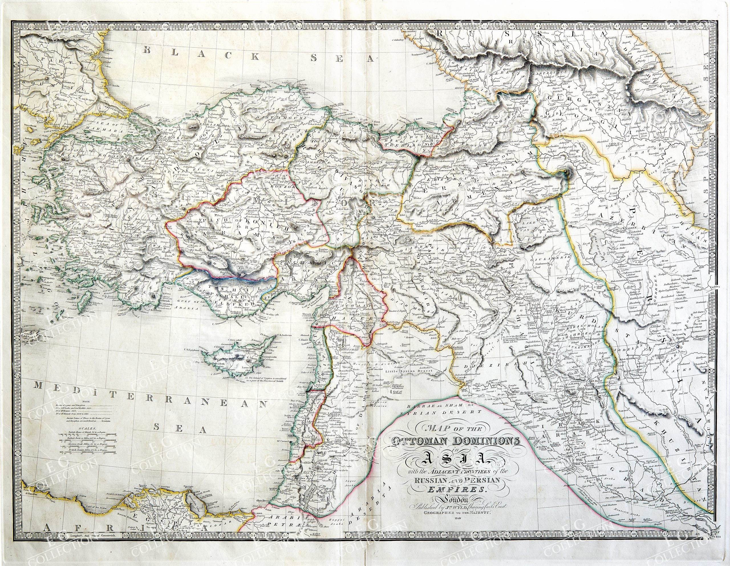
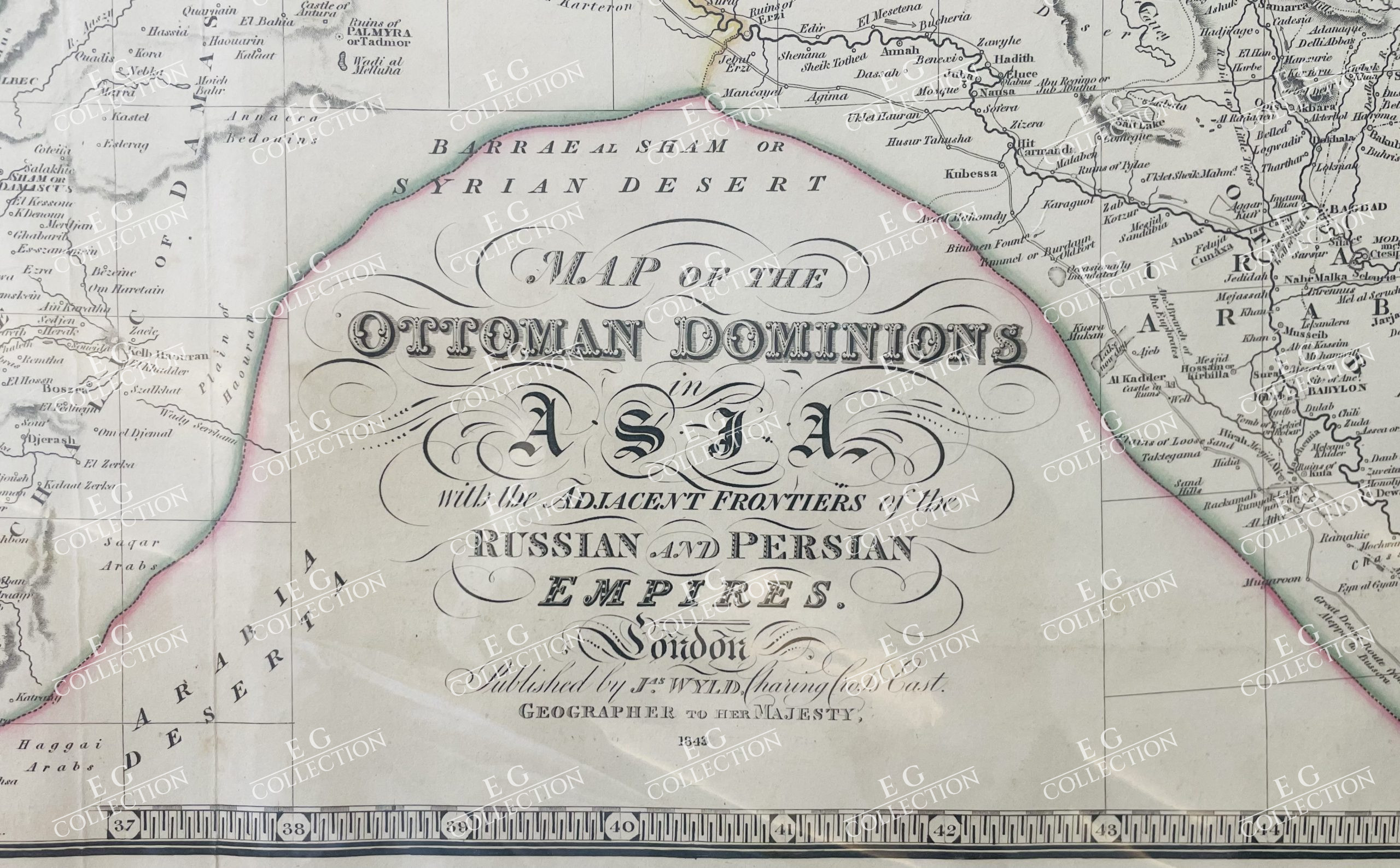
MAP OF THE OTTOMAN DOMINIONS IN ASIA WITH THE ADJACENT FRONTIERS OF THE RUSSIAN AND PERSIAN EMPIRES
James WYLD
London, 1843
71 x 57 cm.
1839 MAP OF THE OTTOMAN DOMINIONS in ASIA with the ADJACENT FRONTIERS of the RUSSIAN and PERSIAN EMPIRES. A fine example of the very large scale map published by James Wyld. Size approx 71cm x 57cm with central fold as issued. James Wyld Sr. (1790-1836) was a British cartographer and one of Europes leading mapmakers. He made many contributions to cartography, including the introduction of lithographyinto map printing in 1812. William Faden, another celebrated cartographer, passed down his mapmaking business to Wyld in 1823. The quality and quantity of Fadens maps, combined with Wylds considerable skill, brought Wyld great prestige. Wyld was named geographer to KingsGeorge IV and William IV, as well as HRH the Duke of York. In 1825, he was elected an Associate of the Institution of Civil Engineers. He was one of the founding members of the Royal Geographical Society in 1830. Also in 1830, his son, James Wyld Jr., took over his publishing house. Wyld Sr. died of overwork on October 14, 1836. James Wyld Jr. (1812-87) was a renowned cartographer in his own right and he successfully carried on his fathers business. He gained the title of Geographer to the Queen and H.R.H. Prince Albert.Punch(1850) described him in humorous cartographic terms.
$ 850,00


 No products in the cart.