Açıklama
....
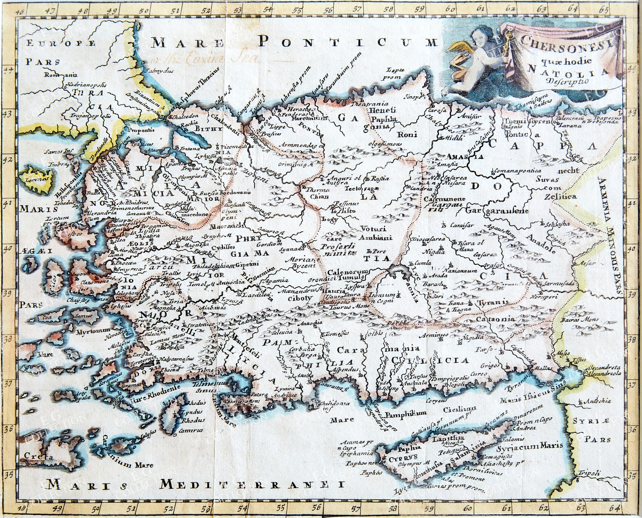
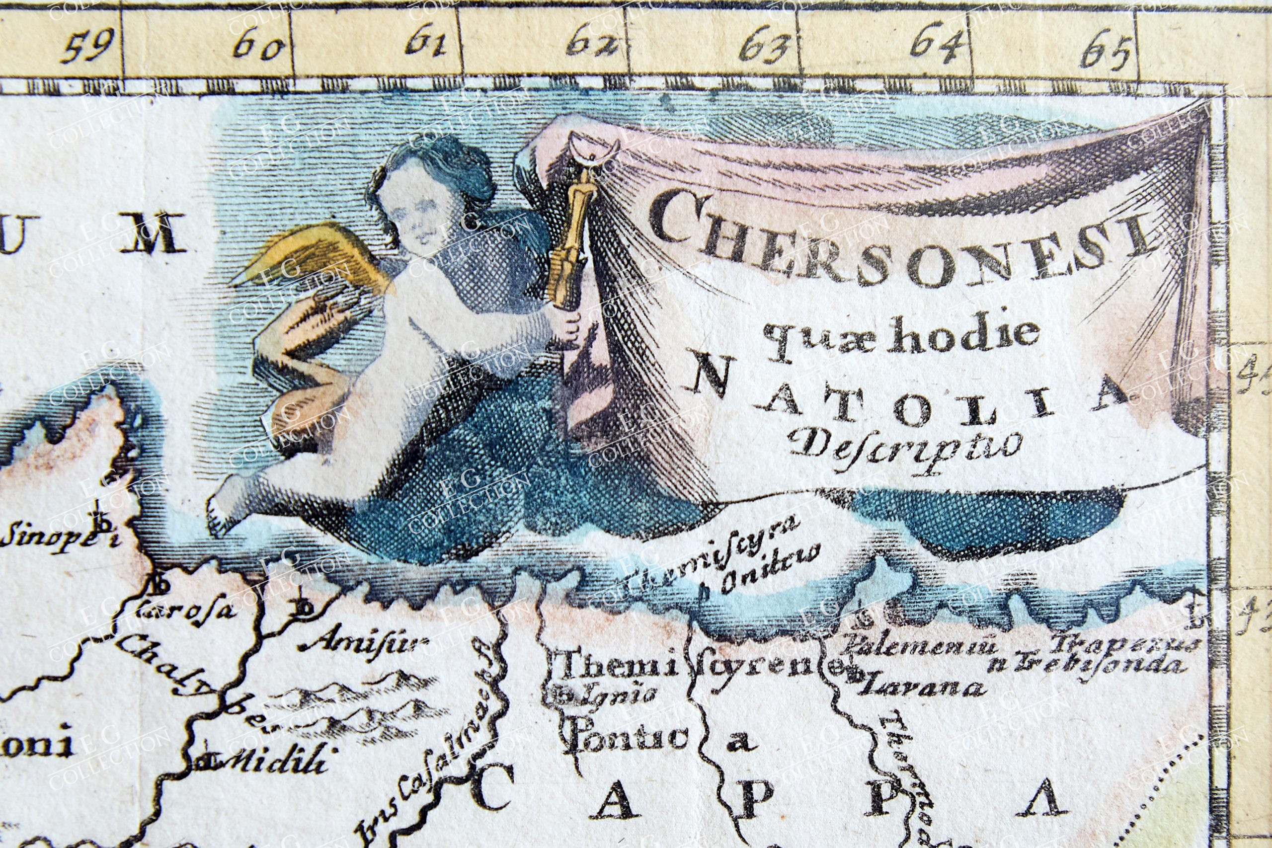
CHERSONESI QUAE HODIE NATOLIA… CLUVER, Philipp
Leiden, 1697
20 x 25 cm.
A map of Turkey, from an early eighteenth century printing of Philipp Cluver’s Introductio in Universam Geographicam. The map is ostensibly a map of the Anatolian peninsula in the classical period, as almost all of the place names, regions, and other geographical details are ancient rather than modern. In the top right corner, the title banner is held up by a putto.
Philipp Cluver (1580-1622) was born in Danzig and after studying at Leyden and Oxford, he became interested in modern and historical geography. His subsequent publications made a wide and influential contribution to knowledge of the subject. Philip Cluver’s “Introductonius” was a popular geography book, first published in 1624 without maps. There were many editions throughout the 17th and 18th centuries with maps from several sets of plates.
$ 700,00
1 adet stokta


 Sepetinizde ürün bulunmuyor.