Description
....


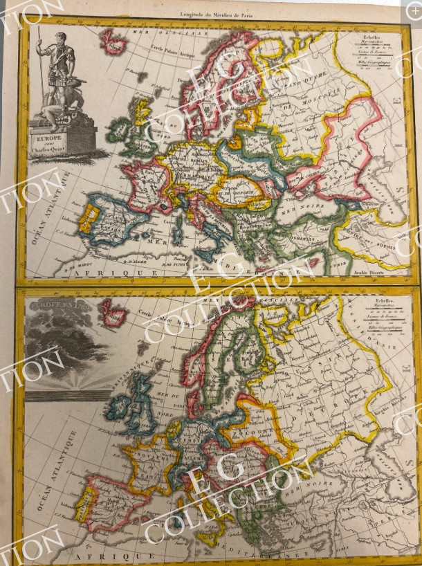
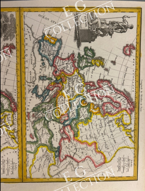
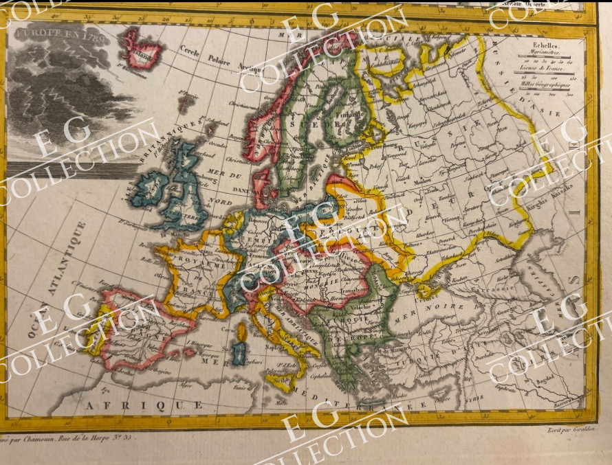
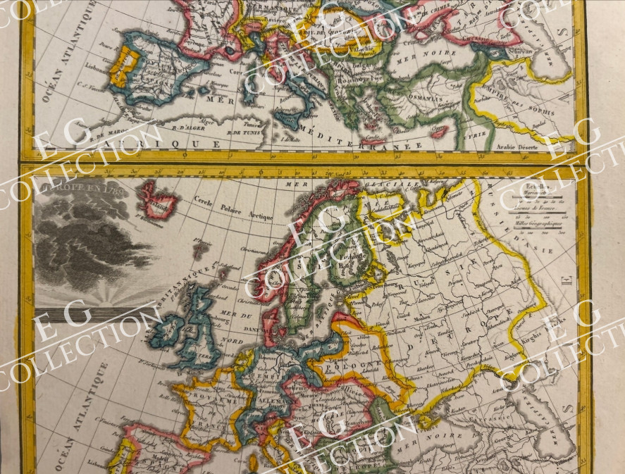
MAPPA STORİCA COMPARATİVA DELL’EUROPA (Impero di Carlo V vs. Europa post-Rivoluzione Francese)
Jean-Baptiste-Joseph CHAMOUIN
1781
22 x 30 cm.
The print is conceived as a historical-educational two-compartment panel, designed to visually compare two crucial eras for the geopolitical layout of the European continent:
• Upper Map (L’Europe de Charles-Quint):
• It represents Europe in the first half of the 16th century under the aegis of Emperor Charles V of the House of Habsburg.
• Decorative elements: In the upper left stands a rich figurative cartouche surmounted by the monumental statue of Charles V in armor, with scepter and imperial globe.
• Lower Map (L’Europe Moderne / Post-Revolutionary):
• It shows the European territorial arrangement following the upheavals of the French Revolution and the early Napoleonic campaigns.
• Decorative elements: In the upper left, instead of the monument, there is inserted a cartographic inset with a graduated scale or a regional detail.
Jean-Baptiste-Marie Chamouin (1768 – 18xx) was a French engraver active in the late 18th and early 19th centuries. Chamouin was born in Paris. He mastered engraving working at the Dépôt de Guerre, and went on to private commercial work in geographical publication. He engraved with Jean Baptiste Tardieu (1768 – 1837), Pierre M. Lapie (fl. 1779 – 1850), and Conrad Malte-Brun (1755 – 1826), among others. His offices, at least in 1845, were at 29 Rue de la Harpe, Paris.
$ 250,00


 No products in the cart.