Description
....


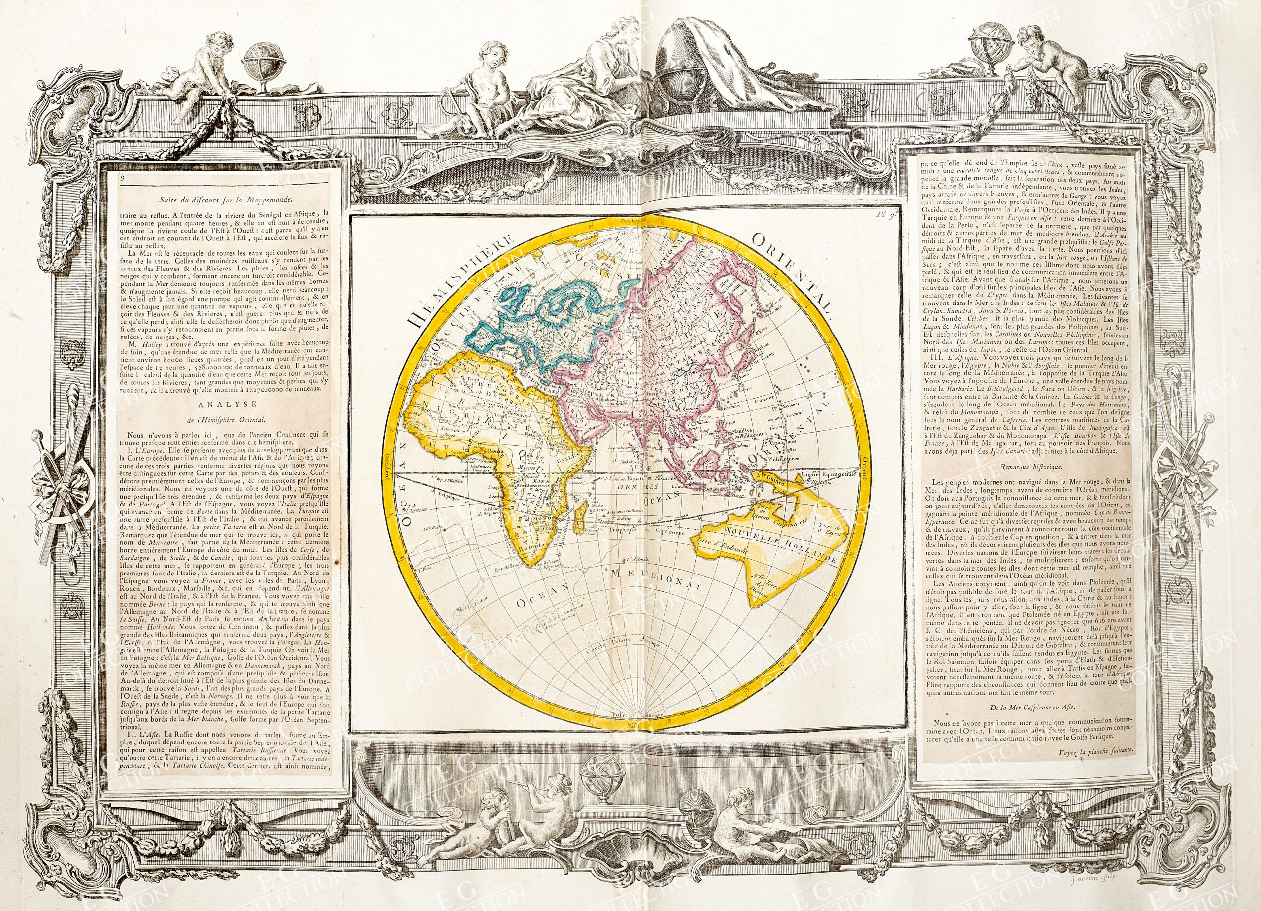
DESNOS / Brion De La TOUR
France, 1766
67 x 50 cm.
This Geographical Map in IMPERIAL-FOLIO, is an original copper engraving from 1766.
This is the 1st edition of DESNOS & BRION DE LA TOUR, published in 1766 in his Atlas, which bears the name: “Atlas général, méthodique et élémentaire pour l’étude de la géographie et de l’histoire moderni, dressé. par une Société d’ingénieurs géographes du Roi [principalement par L. Brion de La Tour]. Avec des descriptions historiques et géographiques par M. Maclot, , 1766”
Beautiful map in FOLIO MASSIMO published in FRANCE, with excellent watercolour, wide margins (wide margins…) and geographically well detailed at every point.
This map, as shown in the photo, contains the description on both sides of the geographical area represented.
$ 450,00

 No products in the cart.